New Zealand's Premium 1 Day Trek
Trek across a volcanic landscape of dramatic landscapes
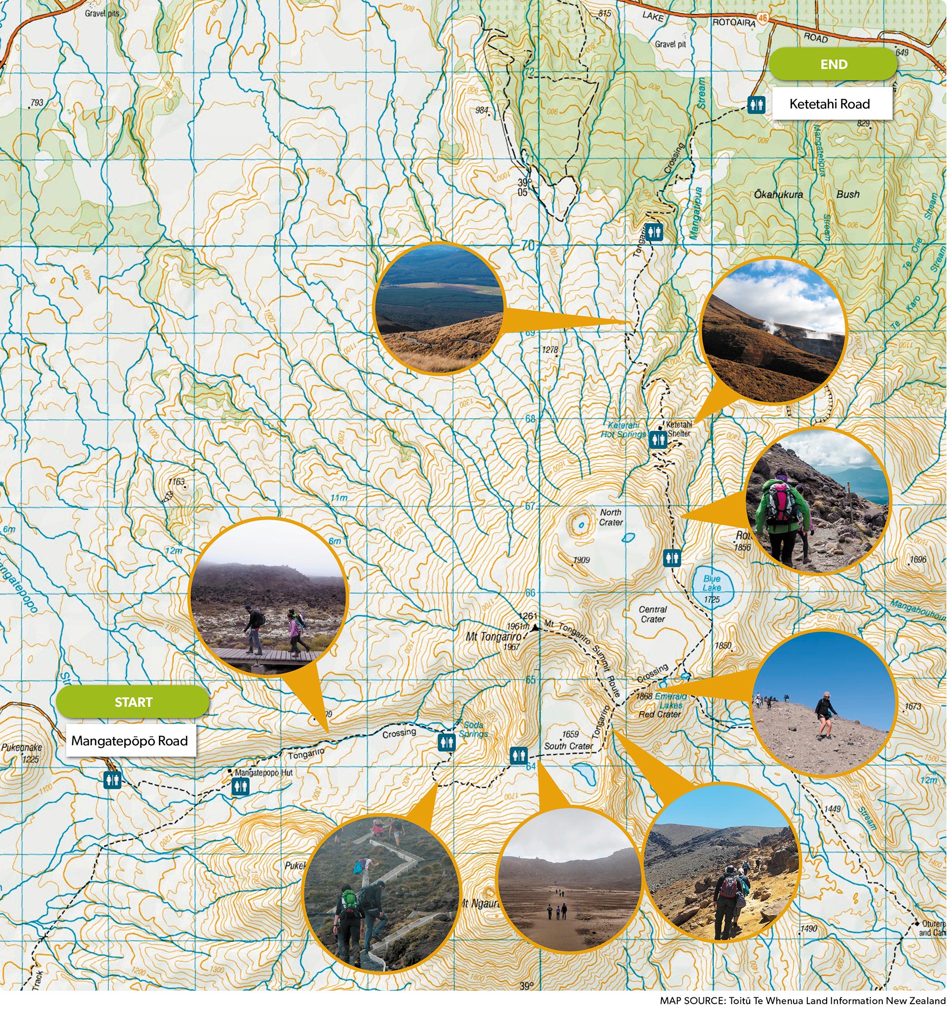
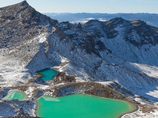
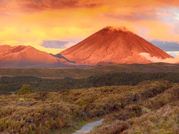
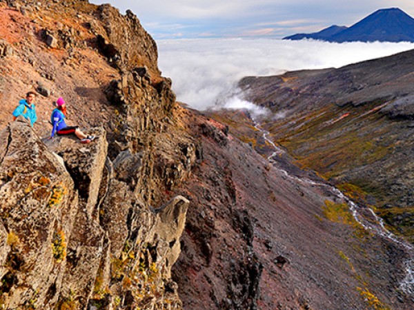
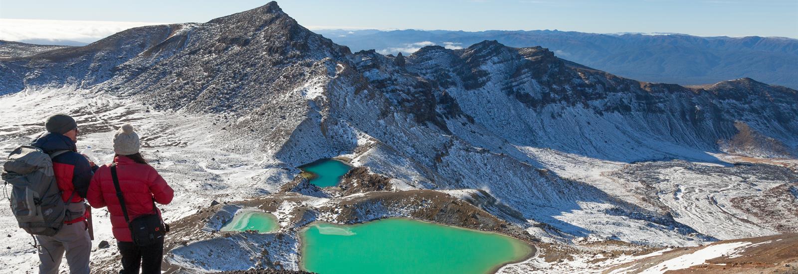
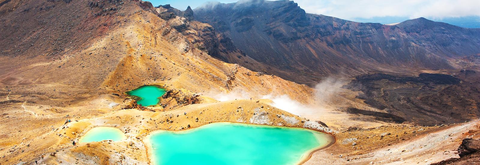
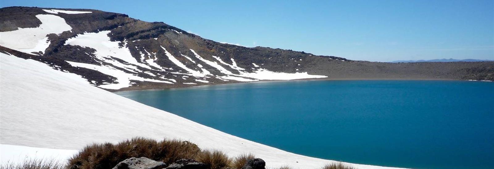
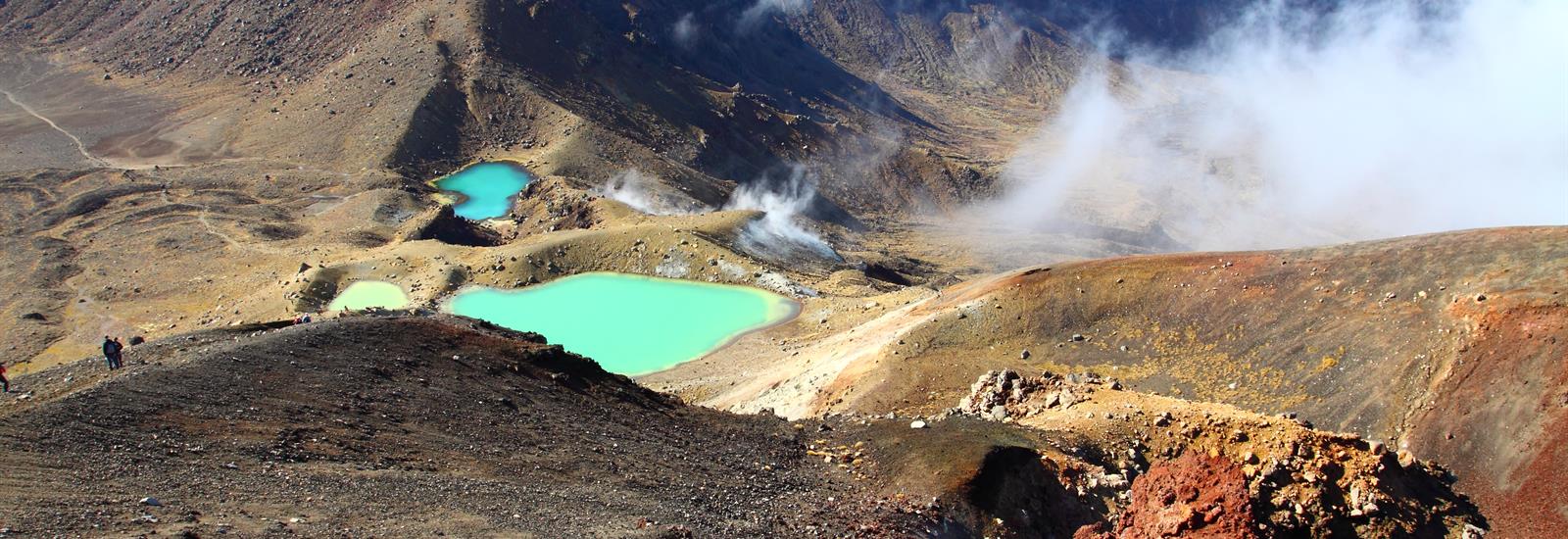
The Tongariro Alpine Crossing is heralded as the best one-day trek in New Zealand and is regarded as among the top ten single-day treks in the world.
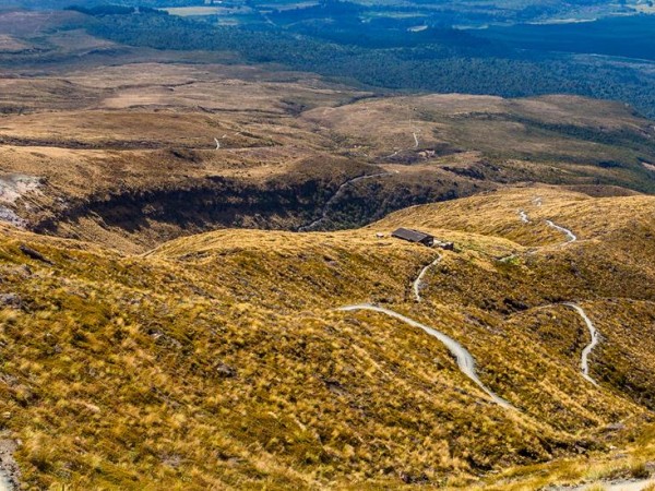
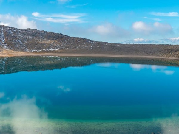
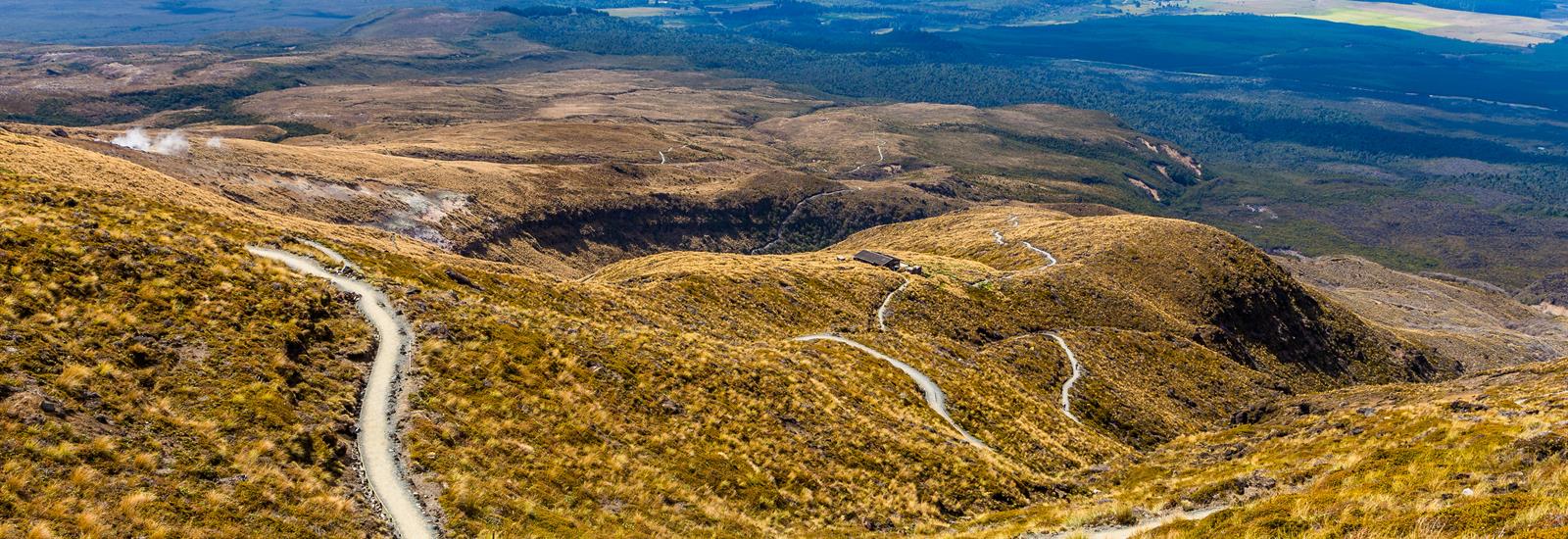
Many who complete the 19.4 km (12 mile) journey will tell you the climbs can be steep and the weather unpredictable, though worth it in every aspect. The Tongariro Alpine Crossing is located in the Tongariro National Park - New Zealand's oldest national park and a dual UNESCO World Heritage Site.
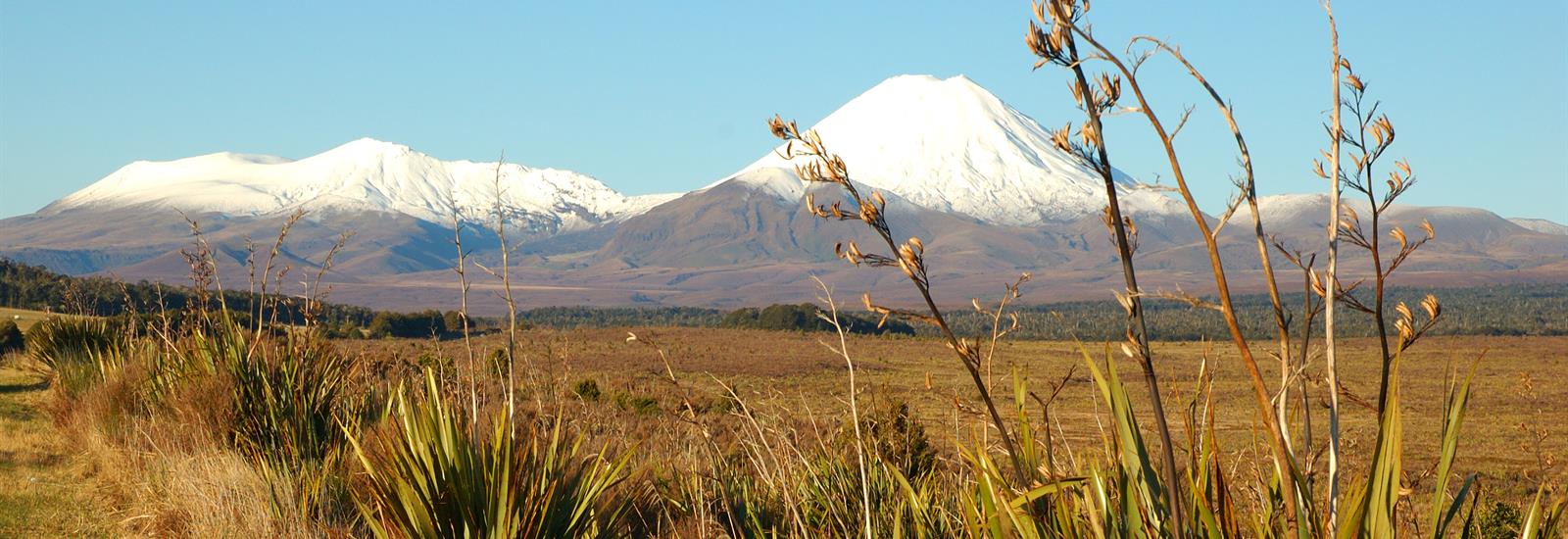
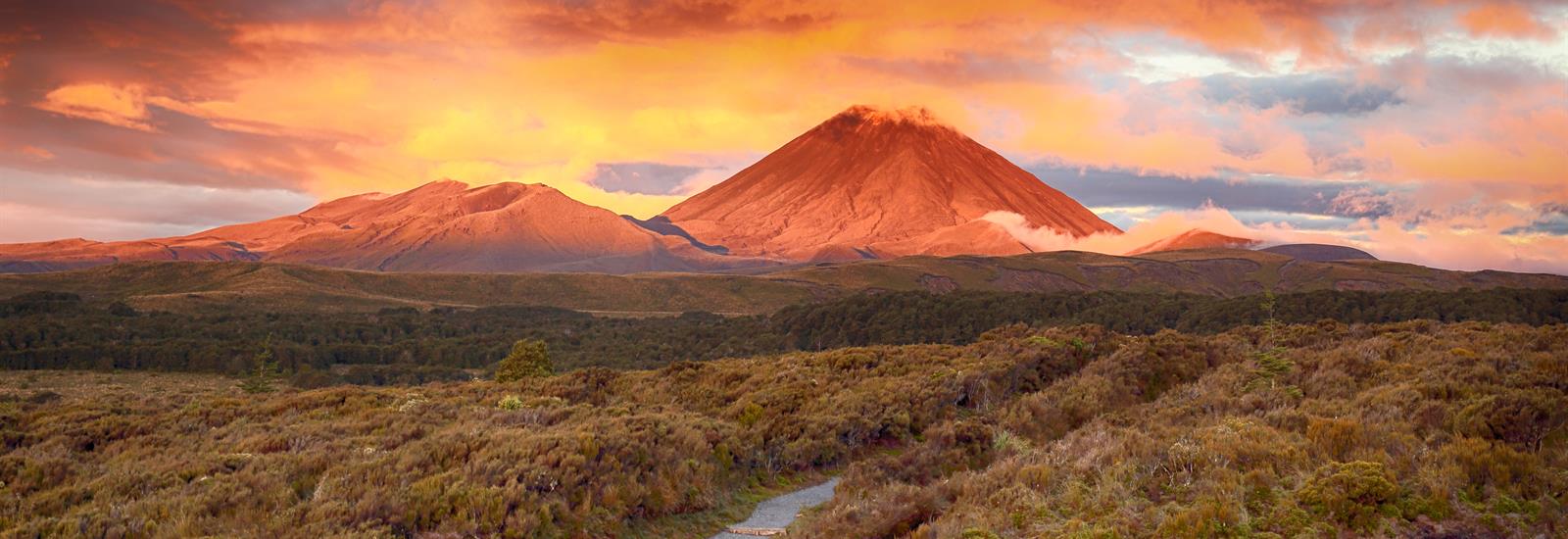
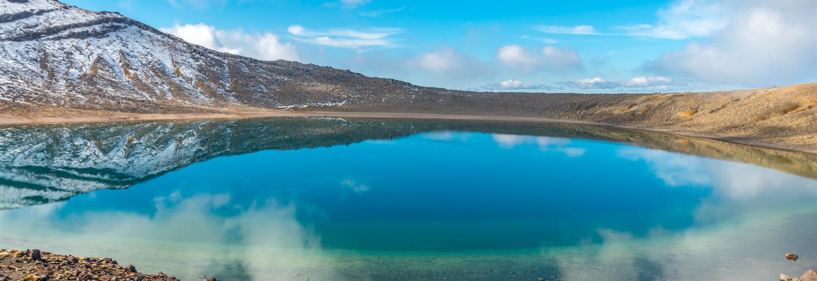
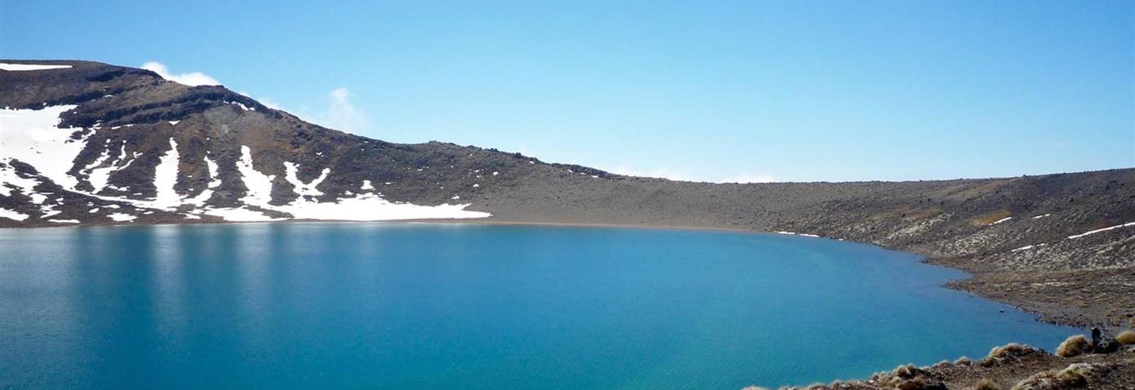
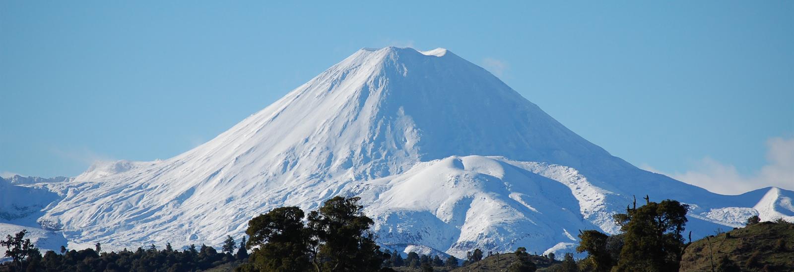
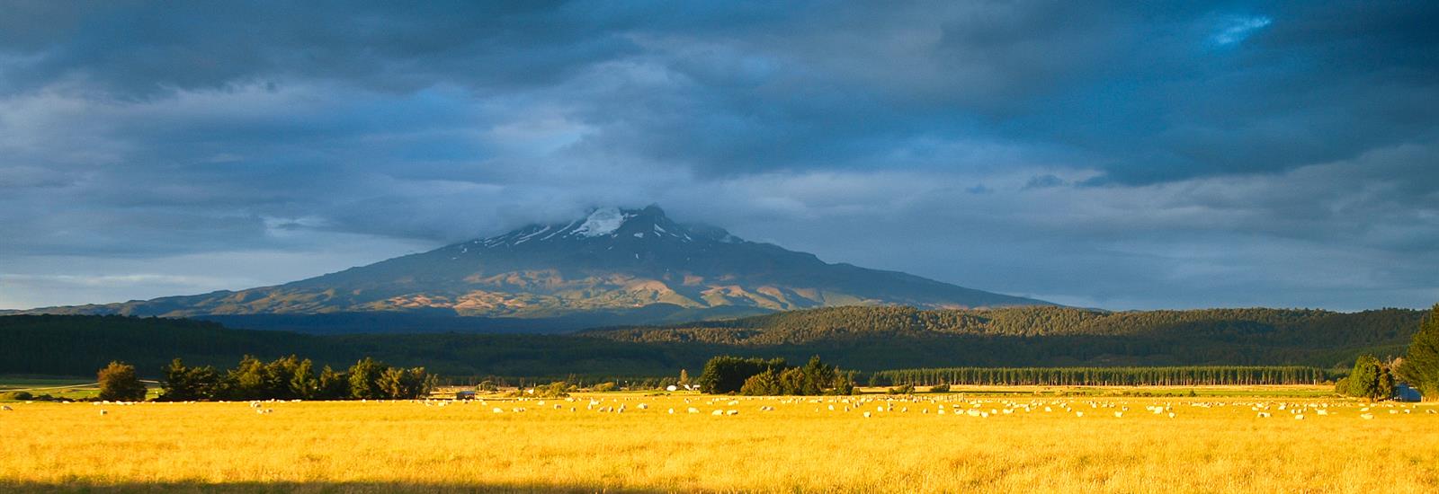
Tongariro National Park is rich in both cultural identity and dramatic, awe-inspiring natural scenery. Unique landforms, including the volcanic peaks of Ngauruhoe, Tongariro and Ruapehu ensure the Tongariro Alpine Crossing is considered a world-renowned trek.
What to expect from the Tongariro Alpine Crossing
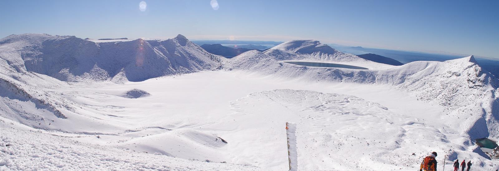
Although beautiful, the Tongariro Alpine Crossing, can be dangerous if you are not fully prepared to enter an alpine environment. Extreme weather, terrain and distance have resulted in this track having the highest number of search and rescues for hikers in New Zealand.
The video below, produced by the New Zealand Mountain Safety Council, takes you through the entire track and shows you how to prepare for a successful day out so that you make it home safely.